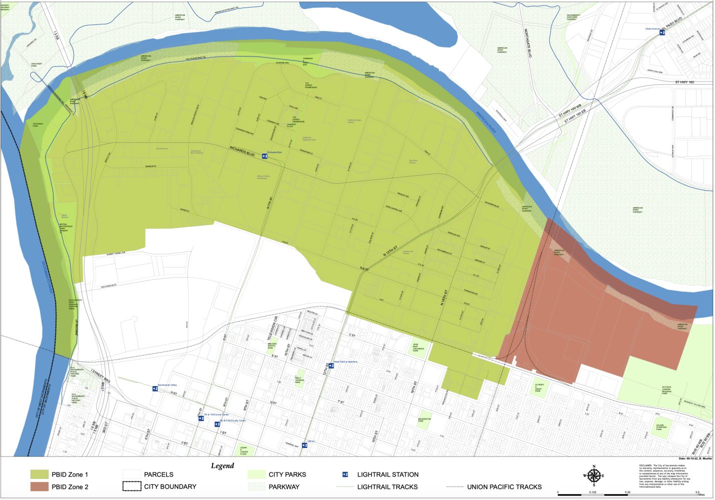
In business and in real estate, location is a key to success. The River District is a compelling choice for new business opportunities.
- Its location at the confluence of the Sacramento and American rivers promises opportunities for residential development and supporting retail, restaurant and recreational uses
- Its location in Sacramento’s central city, adjacent to downtown, makes it an ideal business, transportation and residential center
- It supports diverse land use opportunities for commercial, industrial, public agency, retail and residential
- Its transportation network provides easy access to Interstates 5 and 80, as well as Sacramento International Airport
- Its accessibility to transit and the intermodal transit station make it one of the region’s most accessible sites with light rail or bus service available within a 10-minute walk from any point in the District
| Sacramento International Airport | 10 miles | 14 minutes |
| Interstate 5 and 80 and Highways 50, 99 and 160 | < 1 to 5 miles | 3 minutes |
| Downtown Sacramento | 1 miles | 3 minutes |
| Sacramento Valley Station | 1 miles | 3 minutes |
| City Hall | 1.1 miles | 4 minutes |
| Old Sacramento | 1.4 miles | 5 minutes |
| State Capitol | 1.5 miles | 5 minutes |
| Convention Center | 1.5 miles | 5 minutes |
| Midtown | 1.8 miles | 7 minutes |
| Crocker Art Museum | 1.8 miles | 7 minutes |
| Sutter Health Park (Home of the Rivercats) | 2.1 miles | 8 minutes |
| Cal Expo | 3.5 miles | 10 minutes |
